
Daniel Boone’s Trail, Huntsville
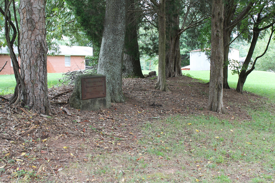
A rectangular cast iron plaque is attached to a slightly larger stone slab
embedded in the ground. The marker at Huntsville was the first of the Daniel Boone’s Trail
markers placed by the Daughters of the American Revolution in North Carolina.
Images:
Plaque
DANIEL BOONE’S TRAIL / FROM / NORTH CAROLINA TO KENTUCKY / 1769 / MARKED BY THE N.C. DAUGHTERS OF THE / AMERICAN REVOLUTION
October 12, 1913
36.086520 , -80.528230
View in Geobrowse
Jones, Randell. Trailing Daniel Boone, Daughters of the American Revolution Marking Daniel Boone’s Trail, 1912-1915, (Winston-Salem, NC: Daniel Boone Footsteps, 2012)
“Boone Table Unveiled In Yadkin County,” The Dispatch (Lexington, NC), October 22, 1913, 3
“Daniel Boone: Man vs. Myth,” Statesville Record and Landmark (Statesville, NC), http://www.statesville.com, June 22, 2015, (accessed January 18, 2016) Link
“Memorial Tablet Is Unveiled At Huntsville By Members OF D.A.R.; Impressive Exercises,” The Twin-City Daily Sentinel (Winston-Salem, NC), October 11, 1913, 2
“North Carolina Daniel Boone Heritage Trail,” North Carolina Daniel Boone Heritage Trail, Inc., (accessed January 11, 2016) Link
“The Trail Taken by Boone Through State Now Marked,” News and Observer, (Raleigh, NC), July 11, 1915, 17
No
Cast iron, stone
General Joseph Winston Chapter Daughters of the American Revolution
The audience gathered around the memorial which was covered by a North Carolina state flag. “Carolina” was sung prior to Mrs. Lindsay Patterson (see subject notes) briefly telling of the D.A.R efforts to establish the trail. Her husband was then introduced and provided an address on Daniel Boone’s time in North Carolina and the importance of the Wilderness Trail into Kentucky. He also lamented on the lack of commemoration in North Carolina. Having recently visited the north he noted that they “mark everything.” He continued by saying that North Carolina “will not be a great people, nor considered a great people till me mark our history and our past.”
Daniel Boone’s marked trail begins at Boone Cave Park in Davidson County, NC, crosses the
Yadkin River at the Shallow Ford near Huntsville, and ends at Fort Boonesborough, Kentucky,
where Boone served during the American Revolution. In 1913 Daughters of the American
Revolution (DAR) Chapters placed 13 markers along the North Carolina portion of the trail
which mostly follows Old US Highway 421. Mrs. Lindsay Patterson of Winston-Salem chaired
the project that eventually erected 45 tablets in North Carolina, Tennessee, Virginia and
Kentucky. At the Cumberland Gap (Tennessee) the four states combined to erect a single
commemorative monument.
Daniel Boone is famous for exploring the American frontier beyond the Appalachian Mountains.
He blazed one of the trails that opened up areas west of the Appalachian’s to increased
European settlement. He was born in Pennsylvania in 1734, lived in the Yadkin Valley, North
Carolina from 1752-1769, where he married Rebecca Bryan, raised a large family, and traded
animal furs. He died in Missouri in 1820 and is buried in Kentucky.
The marker is located off the Courtney-Huntsville Road on an unpaved road remnant running behind homes facing the highway. When placed the address would have been at Mulberry Road and High Street. A Daughters of the American Revolution website identified the closest street address as 4021 Mulberry Fields Road, Yadkinville.
The memorial marker stands in a rural area, surrounded by mature trees.
 Know anything else about this monument that isn't mentioned here? If you have additional information on
this or any other monument in our collection fill out the form at the Contact Us link in the footer. Thank you.
Know anything else about this monument that isn't mentioned here? If you have additional information on
this or any other monument in our collection fill out the form at the Contact Us link in the footer. Thank you.


